
I used to think Michelin maps were good but I’m beginning to have my doubts. It’s not so much faults with what they do show, more all the stuff they leave out.
I’ve spent the past nine days exploring the north-east corner of Portugal, trying to work out new day rides and touring routes to add to this site.
When I’ve got internet access, I’ve been using Google Maps to help try and work out circuits and plot where to go. But because I’m camping and don’t have any ‘smart’ devices with me, sometimes I’ve got to fall back on paper options.
Which is when Michelin is letting me down big time. There are so many roads that just aren’t marked on the map. I could understand it more if there wasn’t space on the map to show the roads because of the scale but often there are just white spaces… where perfectly good roads exist.
I keep finding the same problem. Some roads are marked but some aren’t.
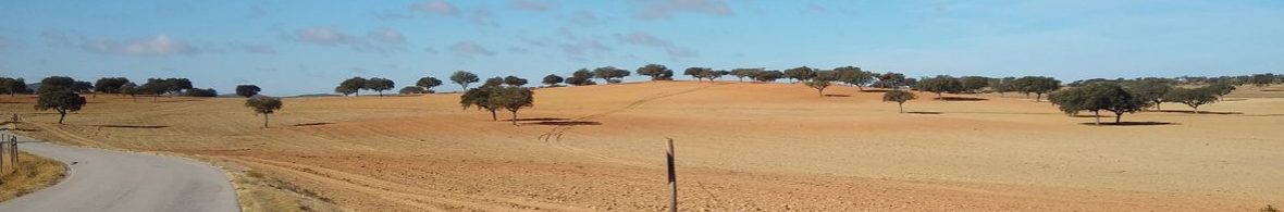
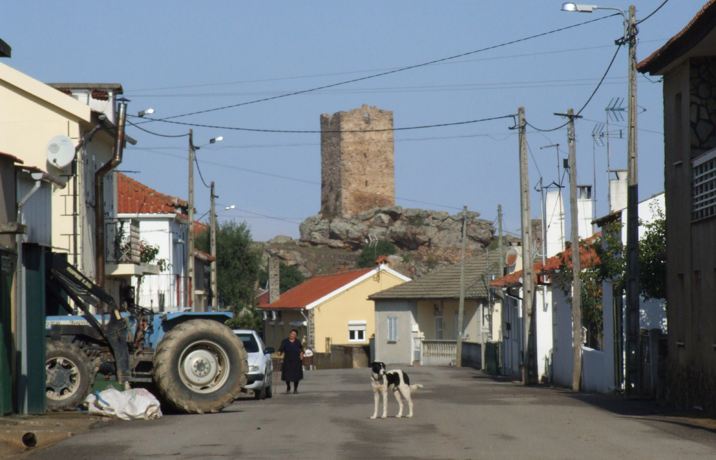
There doesn’t seem to be much logic to it either. The other day my wife and I did a 20-mile circuit south of Mogadouro. Most of it was on a road that we only knew about thanks to a really basic free map of the district provided by the local tourist information office (and the fact that standing on top of the castle I’d spotted the road going out into the countryside).
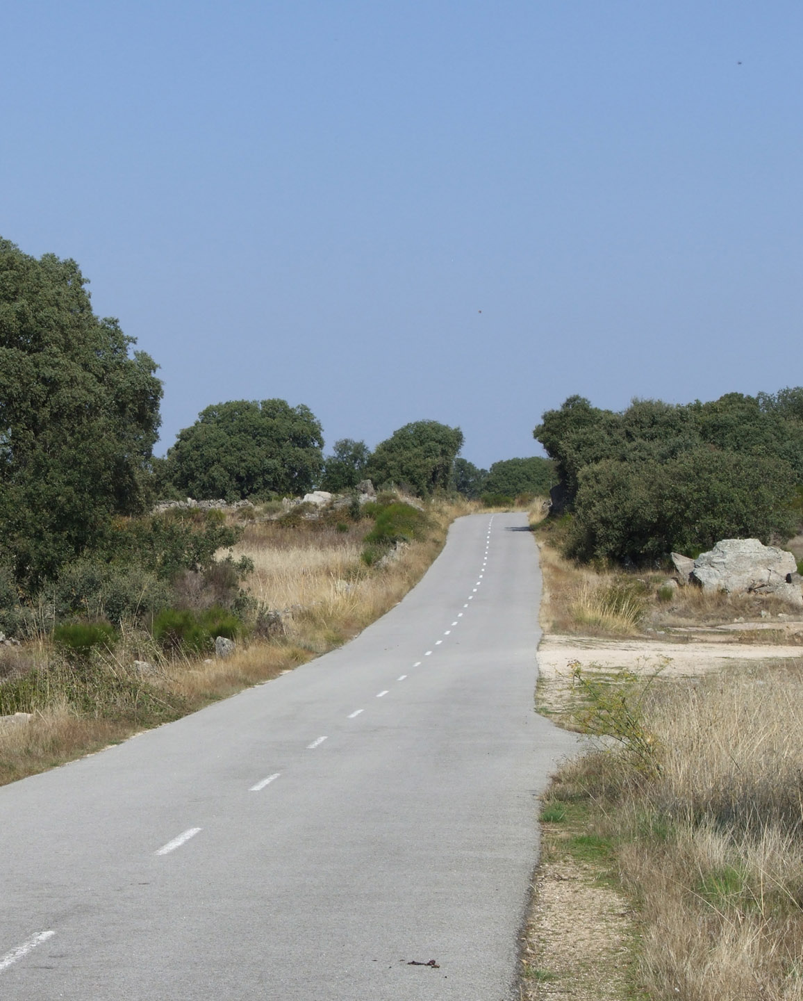
The road that didn’t appear on the Michelin map was two-lanes and well surfaced. Then we got to a village called Vila Verde. Beyond here, the road was shown. Guess what? It was single lane and one of the roughest, most broken surfaces we’ve endured anywhere in Portugal.
Again (sorry to go on!), we did a loop north of Mogadouro to visit a castle in a village called Penas Roias. Most of the road was shown but the bit between the village and the main road was blank. Luckily the road was there.
Tomorrow we’re off east out of Chaves and into the mountains. We’re hoping to go between two villages where Michelin doesn’t show a road. What’s the chance of us making it? On past form, pretty good!
On a separate grumble, my road atlas (also Michelin) supposedly was updated in 2011 but doesn’t show any of the new main roads/motorways built in northern Portugal over the past few years. I’m prepared to believe some of the roads weren’t finished in 2011 but they must have at least been planned.
Don’t think I’ll bother buying any Michelin maps for this part of the world again. Maybe I’ll have to join the 21st century and get some kind of tablet.

OpenStreetMap and the corresponding OsmAnd application are quite good. I find that OSM tends to contain more walking and cycling paths than commercial maps. YMMV.
Hi. Yes – agree with that recommendation. I´ve been using OSM to put together maps for the guidebook I´m working on. Trouble is, I can´t look at OSM when on my bike as I´m still a ´tech-free´rider!